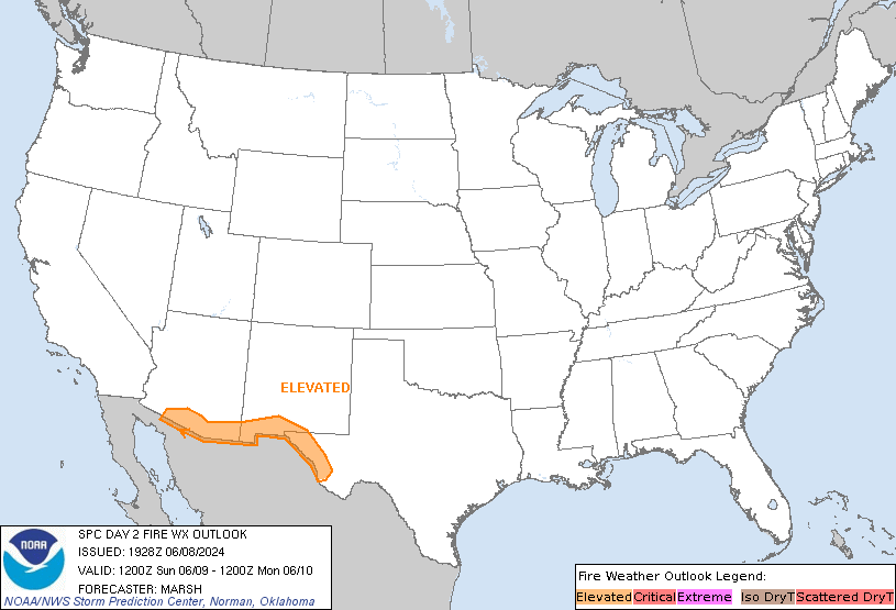
SPC Day 2 Fire Weather Outlook
Day 2 Fire Weather Outlook
NWS Storm Prediction Center Norman OK
0259 PM CDT Mon Apr 29 2024

Valid 301200Z - 011200Z

Added an Elevated delineation to portions of eastern Montana and
southwest North Dakota. Minimal precipitation has fallen across this
region over the past 2 weeks with significant drying of fine fuels.
Some scattered showers/thunderstorms are possible tonight which may
lead to wetting rain in some areas. However, this precipitation is
expected to be sparse enough that dry fuels should remain tomorrow.
Therefore, sustained 20 to 25 mph winds and relative humidity of 15
to 20 percent may result in some elevated large fire threat.

..Bentley.. 04/29/2024

.PREV DISCUSSION... /ISSUED 0154 AM CDT Mon Apr 29 2024/

...Synopsis...
A belt of enhanced mid-level flow will spread across the Northern
Rockies from an upper-low across the northwestern US on Tuesday. A
cold frontal passage will bring widespread wetting rainfall across
much of eastern Montana and Wyoming. Behind the cold front, a dry
continental air mass will overspread this region, with relative
humidity dropping as low as 15 percent amid sustained winds 15-20
mph. Fuels in this region are expected to be marginal before
additional rainfall. However, some potential for drying of grasses
and fine fuels may support localized fire weather concerns. For now,
this potential is too low to include any areas with this outlook.

...Please see www.spc.noaa.gov/fire for graphic product...