SPC Day 3-8 Fire Weather Outlook
2024-09-20
SPC Fire Weather Outlooks
SPC Day 3-8 Fire Weather Outlook
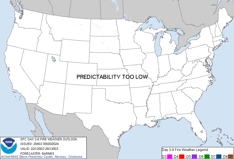
Day 3-8 Fire Weather Outlook
NWS Storm Prediction Center Norman OK
0340 PM CDT Fri Sep 20 2024

Valid 221200Z - 281200Z

...Synopsis...
By late this weekend through early next week, mid to upper-level
troughing is generally expected from the central to eastern CONUS,
while ridging impacts the Southwest and Great Basin. This pattern
will promote cooler air masses and precipitation chances from the
Plains into the Midwest, with warmer and drier conditions west of
the Rockies. The latter will likely lead to more receptive fuels
developing across the Great Basin, Southwest, and portions of the
Pacific Northwest. However, a lack of stronger flow aloft and
significant low pressure areas developing will keep the overall fire
weather wind threat very low across much of these regions. By mid to
late next week, north Pacific mid to upper-level shortwave troughs
traversing the western Canadian provinces will result in increasing
southwesterly flow through the troposphere over the Pacific
Northwest. Confidence in at least elevated fire weather conditions
impacting any specific region, however, appears far too low to
introduce 40 percent probabilities at this time.

..Barnes.. 09/20/2024

...Please see www.spc.noaa.gov/fire for graphic product...
8:55 PMSeptember 20, 2024