SPC Day 1 Fire Weather Outlook
SPC Day 1 Fire Weather Outlook

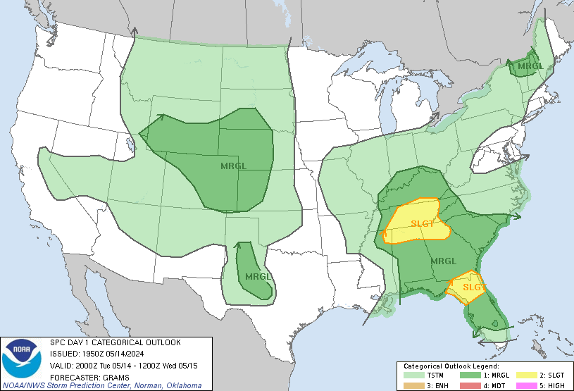
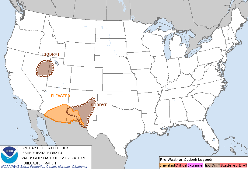
Day 1 Fire Weather Outlook  
NWS Storm Prediction Center Norman OK
1134 AM CDT Sat May 18 2024

Valid 181700Z - 191200Z

...NO CRITICAL AREAS...

Locally Elevated fire weather conditions may develop for a couple of
hours this afternoon across portions of the southern Florida
peninsula as westerly surface winds near 15 mph, very hot
temperatures (upper 90s F), and modestly lowered RH values overlap
areas with at least marginally receptive fuels. However, fire
weather conditions appear too limited in space and time for an
Elevated fire weather area. Otherwise, the fire weather forecast
remains on track.

..Elliott.. 05/18/2024

.PREV DISCUSSION... /ISSUED 0203 AM CDT Sat May 18 2024/

...Synopsis...
Mid level ridging will start to build into the central CONUS today
with a series of troughs moving through the Northwest and northern
Plains. At this time, dry fuels are concentrated across portions of
the Southwest and southern High Plains. However, winds will be
mostly light across this region on Saturday. Some dry and breezy (15
to 20 mph) conditions are possible across southern Arizona as
mid-level flow strengthens, but fuels are not dry enough to support
large fires at this time.

...Please see www.spc.noaa.gov/fire for graphic product...

Read more


SPC Day 2 Fire Weather Outlook

SPC Day 2 Fire Weather Outlook

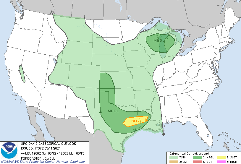
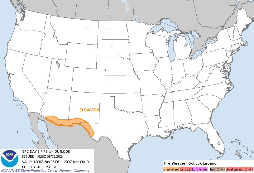
Day 2 Fire Weather Outlook  
NWS Storm Prediction Center Norman OK
0154 PM CDT Sat May 18 2024

Valid 191200Z - 201200Z

Meteorologically Critical fire weather conditions are expected
tomorrow (Sunday) across portions of New Mexico and Texas, as
breezy/gusty surface winds overlap a hot (80s to upper 90s F) and
dry (minimum RH values less than 15%) air mass. However, rainfall
over the past 48 hours (AHPS suggests 0.25-1+ inches) leads to
uncertainties on fuel receptiveness and precludes introducing a
Critical fire weather area at this time. The rainfall was more
spotty further west across portions of northern Arizona, though
fuels remain marginally dry across this area, which should keep any
fire weather concerns Elevated even amidst near Critical
meteorological fire weather conditions. There is also the potential
for lightning holdovers from the recent thunderstorms to become
active as extremely dry air and breezy/gusty winds overlap
increasingly receptive fuels.

..Elliott.. 05/18/2024

.PREV DISCUSSION... /ISSUED 0204 AM CDT Sat May 18 2024/

...Synopsis...
Mid-level southwesterly flow will begin to strengthen today across
the Southwest as troughing amplifies across the western CONUS. Dry
and windy conditions are expected across the Southwest as a result
of the deeply mixed airmass transporting some of this stronger flow
to the surface, and a lee cyclone tightening the surface pressure
gradient. Sustained winds may be has high as 20 to 25 mph with
single-digit relative humidity. This will support Critical fire
weather conditions in local areas with drier fuels, but amid only
marginally dry fuels, have elected to keep an Elevated delineation
for now. If stronger winds or drier fuels are apparent, an upgrade
to Critical may be needed in later outlooks.

...Please see www.spc.noaa.gov/fire for graphic product...
Read more


SPC May 18, 2024 1630 UTC Day 1 Convective Outlook

SPC 1630Z Day 1 Outlook

Day 1 Outlook Image

Day 1 Convective Outlook  
NWS Storm Prediction Center Norman OK
1129 AM CDT Sat May 18 2024

Valid 181630Z - 191200Z

...THERE IS A SLIGHT RISK OF SEVERE THUNDERSTORMS ACROSS PARTS OF
NORTH FLORIDA AND SOUTHERN GEORGIA...AND PARTS OF THE WESTERN GREAT
LAKES...

...SUMMARY...
The greatest severe-thunderstorm potential today appears to be from
the Florida Panhandle eastward to the southern Atlantic Coast, and
portions of the western Great Lakes region.

...North FL/South GA...
A persistent band of widespread showers and thunderstorms extends
from the FL Panhandle into southern GA.  This band will sag
southward through the day, with occasional intensification along the
leading edge as daytime heating destabilizes the upstream
environment.  Locally gusty/damaging winds appear to be the main
threat.

...FL East Coast...
Strong heating is occurring along the FL peninsula, where hot/humid
conditions will be present this afternoon.  Westerly low-level flow
will focus a rather strong sea-breeze circulation, with most CAM
solutions suggesting scattered thunderstorm development.  It is
uncertain whether the activity will be along the immediate
coastline, or offshore.  However, sufficient vertical shear and CAPE
profiles indicate a risk of supercells capable of large hail and
perhaps a tornado/waterspout or two.


...Western Great Lakes into Central Plains...
A surface cold front will extend from western WI into parts of
IA/MO/KS by mid-afternoon.  Scattered thunderstorms are expected to
form along the front from the MN Arrowhead southward into western
WI, with more isolated convection from there southward into the
Plains states.  Forecast soundings in MI/WI/Upper MI show favorable
vertical shear profiles for a few supercell structures capable of
hail and damaging wind gusts.  Therefore have added a SLGT risk area
for that scenario.  From IA south, relatively weak winds in the
lowest 6km and a deep sub-cloud layer suggest outflow dominant
storms with a more marginal severe threat.

...CO/Western KS...
Model guidance and water vapor imagery show a plume of mid-level
moisture spreading into central CO.  This should result in a cluster
of thunderstorms over the mountains by mid-afternoon, spreading
eastward into the Plains this evening.  Inverted-v sounding profiles
and favorable westerly flow aloft will promote gusty/damaging wind
potential in some of this activity.

...MS/AL into the Carolinas...
A relatively moist and unstable air mass is in place today across
the TN Valley into the Carolinas.  Little cap and pockets of daytime
heating will lead to scattered afternoon thunderstorms throughout
the region - with some potential for locally gusty/damaging wind
gusts.  Areas of slightly greater focus for concern of strong storms
are 1) Ahead of the MCV currently over northern MS, and 2)  an axis
from northern AL into central NC along the northern edge of slightly
stronger winds aloft.

..Hart/Jewell.. 05/18/2024

Read more


SPC May 18, 2024 1730 UTC Day 2 Convective Outlook

SPC 1730Z Day 2 Outlook

Day 2 Outlook Image

Day 2 Convective Outlook  
NWS Storm Prediction Center Norman OK
1241 PM CDT Sat May 18 2024

Valid 191200Z - 201200Z

...THERE IS AN ENHANCED RISK OF SEVERE THUNDERSTORMS FOR PORTIONS OF
WESTERN AND CENTRAL KANSAS...

...THERE IS A SLIGHT RISK OF SEVERE THUNDERSTORMS FOR PORTIONS OF
THE EAST COAST OF FLORIDA...

...SUMMARY...
Severe thunderstorms are most likely across parts of Kansas Sunday
afternoon and evening. Significant damaging gusts, large to very
large hail, and a few tornadoes all appear possible. Large hail is
also probable along parts of the east coast of Florida.

...Synopsis...
A shortwave trough will slowly exit the southeastern U.S. coast on
Sunday. Across the West, another broad upper-level trough will
intensify and dig southward. Shortwave perturbations are expected to
eject into the central Plains early Sunday morning and near the
Raton Meso into western Kansas later in the afternoon. At the
surface, a weak surface low will move through southeastern Georgia
into North Florida. A surface boundary may sag farther southward
into the Florida Peninsula along with a sea breeze front developing
by the afternoon. In the High Plains, two surface lows will deepen,
one in the southern High Plains and another in the central High
Plains near the Black Hills.

...Central into Southern Plains...
Some convection is expected to be ongoing early in the period along
the Kansas/Nebraska border into eastern Nebraska in association with
a low-level jet and the weak shortwave trough moving through the
region. This activity will shift north and east with time as the
trough passes. By the afternoon, a dryline forecast to develop from
southwest Kansas into the Texas Panhandle/western Oklahoma. A
capping inversion should keep development from occurring until the
secondary shortwave ejects during the afternoon. Storms that
initially develop in Kansas will likely be supercells capable of all
severe hazards, including very large hail. The uncertainty in this
scenario will be how long storms will remain discrete. Storms that
can form farther east along the dryline would have the greatest
potential to remain discrete for longer. However, there is a signal
for convection to develop within the Raton Mesa and eventually
intensify as it encounters greater surface moisture to the east.
These storms would likely be more outflow dominant initially and
could lead to the quicker clustering that most guidance shows in
Kansas. Forecast soundings from CAMs show strong cold pool
development and hints of a strong rear inflow jet, suggesting
potential for a strong MCS capable of significant wind gusts.

Farther south into western Oklahoma, storm coverage is much less
certain on account of stronger capping and weaker forcing. Should a
storm develop, all severe hazards would be possible. Currently, a
discrete storm appears most likely in northwest Oklahoma on the
southern fringe of the mid-level ascent.

...Florida...
Storms appear likely to develop along the southward sagging surface
boundary. However, strong heating is expected along the east coast
of Florida with storms forming along the sea breeze in the
afternoon. With the generally favorable timing of the shortwave
trough, shear should be sufficient for supercells and temperatures
aloft should be cold enough (around -10 C) to support a threat for
large hail. Farther west, storms are not expected to be as
organized, but isolated damaging winds and large hail are still
possible.

...Western Nebraska/western South Dakota...
The northern surface low will deepen and help advect mid to perhaps
upper 50s F dewpoints into the region. Storms are expected to
develop during the afternoon. Large hail and severe wind gusts will
be the main hazards. The larger surface temperature/dewpoint spreads
and weaker shear than farther south may lead to less organized
storms. As such, will continue with a Marginal hail/wind risk.

..Wendt.. 05/18/2024

Read more